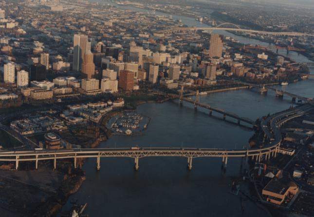
Make an Appointment or Digitization Request
The University of Oregon Libraries' Aerial Photography Collection has 1,000,000 unique images, primarily paper prints but also original film and digital photographs, and is one of the most extensive covering Oregon. Our earliest images are from 1929, but the majority of the photographs were taken in the 1930s up to the 2000s.
All are welcome to use our collection. However, arrangements to view photographs must be made ahead of time. Please use the Aerial Photography Research Service Request form to request an appointment to view photographs in Knight Library. You can also use the form to request digital files of the images. We charge non-University of Oregon researchers a Research Fee to recover costs of identifying, retrieving, and scanning photographs from our collection.
For more information about the collection and visiting the Knight Library, please see our FAQ.
Unique Collections
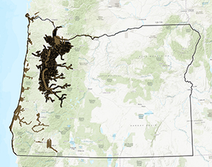
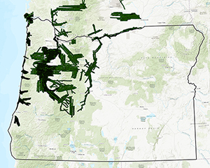
Surveys/Delano Aerial Surveys/Northern Light Studio
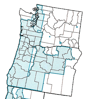
River Flood
Access
The collection is not available on a walk-in basis. In person viewing of actual prints may be done by appointment. Patrons must submit an Aerial Photography Research Request to view prints or obtain scans. We will make an appointment with you when the photographs have been retrieved for viewing. Applicable Research Fees will be charged.
Important:
- Handling of the photographs will be done under the supervision of Library staff.
- Due to concerns about the fragility/irreplaceablity of the images, patrons are not allowed to scan, copy, or take flash photography of the images.
- In accordance with our published Research Fees, patrons not affiliated with the University of Oregon or patrons involved in research for commercial purposes will be required to pay a fee to compensate for staff time spent locating and retrieving items from the collection.
- Patrons may request digital scans of some or all of an aerial photograph. They will be charged for scans in accordance with the published Research Fees.
Limitations on Use
If you plan to publish, display, or distribute images of our materials, you must receive permission and you will be assessed a use fee. If you are charged a use fee, you will also receive an explicit statement of the permissible uses. Please use the Aerial Photography Research Service's Permissions Request Form or contact the Cartographic and Government Information Librarian to negotiate a publication license for our imagery.
Any additional or altered use requires a new negotiation of the rights and the use fee. Use fees are our source of income for preserving and providing access to our collections. For more information about permission requests and allowable uses, see Special Collections' guidelines for Image and Permission Requests. Items used must be attributed in a caption, citation, or other appropriate method. Guidelines for attribution will be provided in the statement of permissible uses.
You may store your digitized images indefinitely, derive new data from them, and give the photographs to your clients. Copies of the photos may be included in environmental site assessment reports and other research products paid for by your client. We do not consider this to be "publishing" the photos.
Copyright
Images in the Aerial Photography Collection are subject to copyright laws. If an individual or entity intends to use copyrighted material in excess of fair use as determined by U.S. copyright law (title 17, United States Code), it is incumbent upon the researcher(s) to seek permission from the copyright holder(s) prior to use. Failure to do so may constitute copyright infringement.
University of Oregon Libraries Aerial Photography Collection includes materials in the following broad copyright categories:
- Items in the public domain.
- Items for which the copyright is owned by the University of Oregon. Contact Aerial Photography Research Service staff for permission to use.
- Items for which the copyright holder is an entity other than the University of Oregon. It is the responsibility of the user to determine copyright status and seek permission from the rights owner(s) where appropriate.
While the digital images provided are yours to keep, the University maintains copyright over the electronic versions and some of the source imagery.
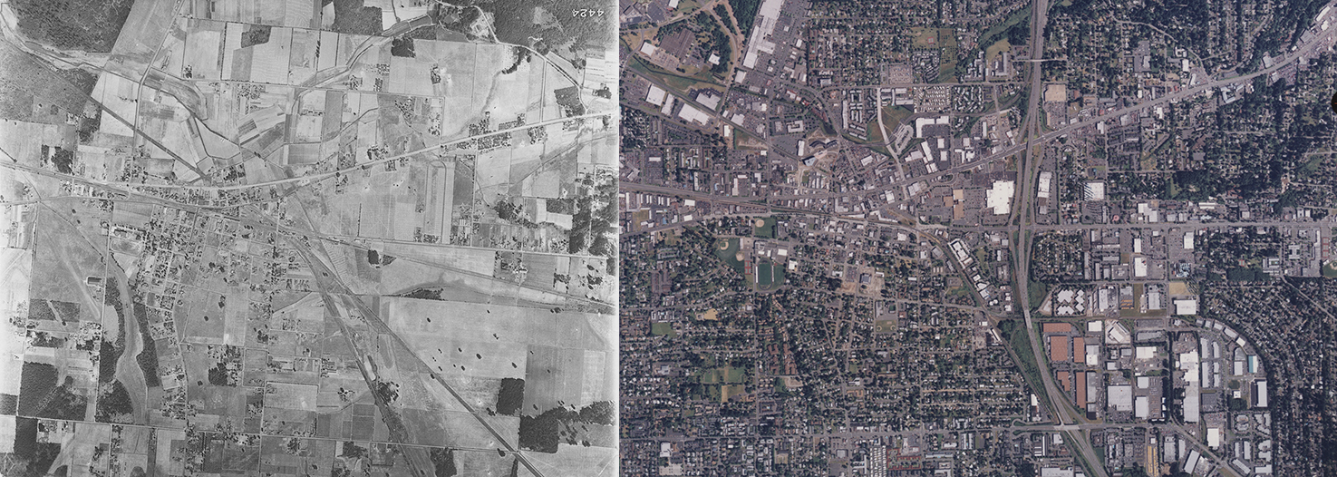
Beaverton, Oregon in 1936 and 2000.
